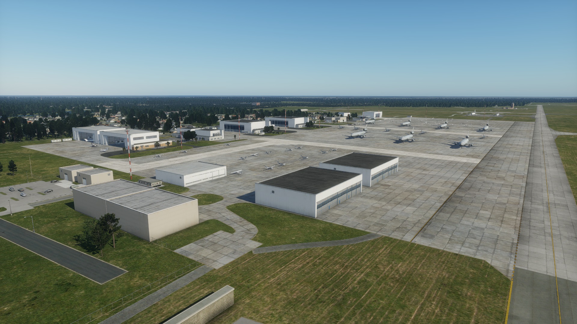
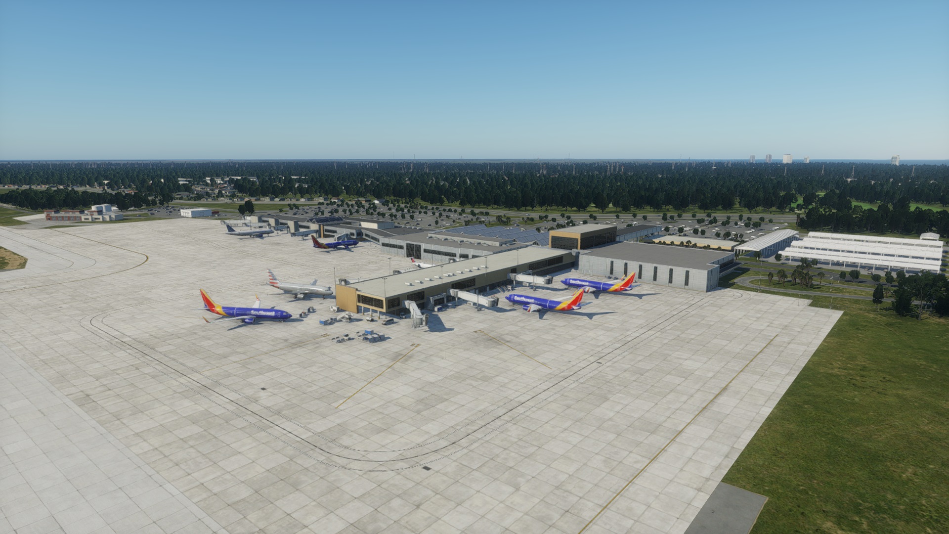
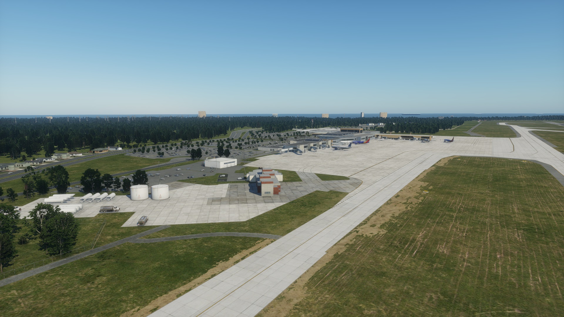
Myrtle Beach Intl
| Identifier in X-Plane | KMYR |
|---|---|
| Full name | Myrtle Beach Intl |
| Country | United States |
| Datum Coordinates (lat, lon) | 33.68000, -78.92900 open in Google Maps |
| Elevation | (Not specified) |
| Recommended Scenery Pack |
106724 by
|
| Attributes |
Checkout status
This airport is unclaimed. You can lock the airport to announce to the world that you’re working on it and prevent duplicate work from being submitted.
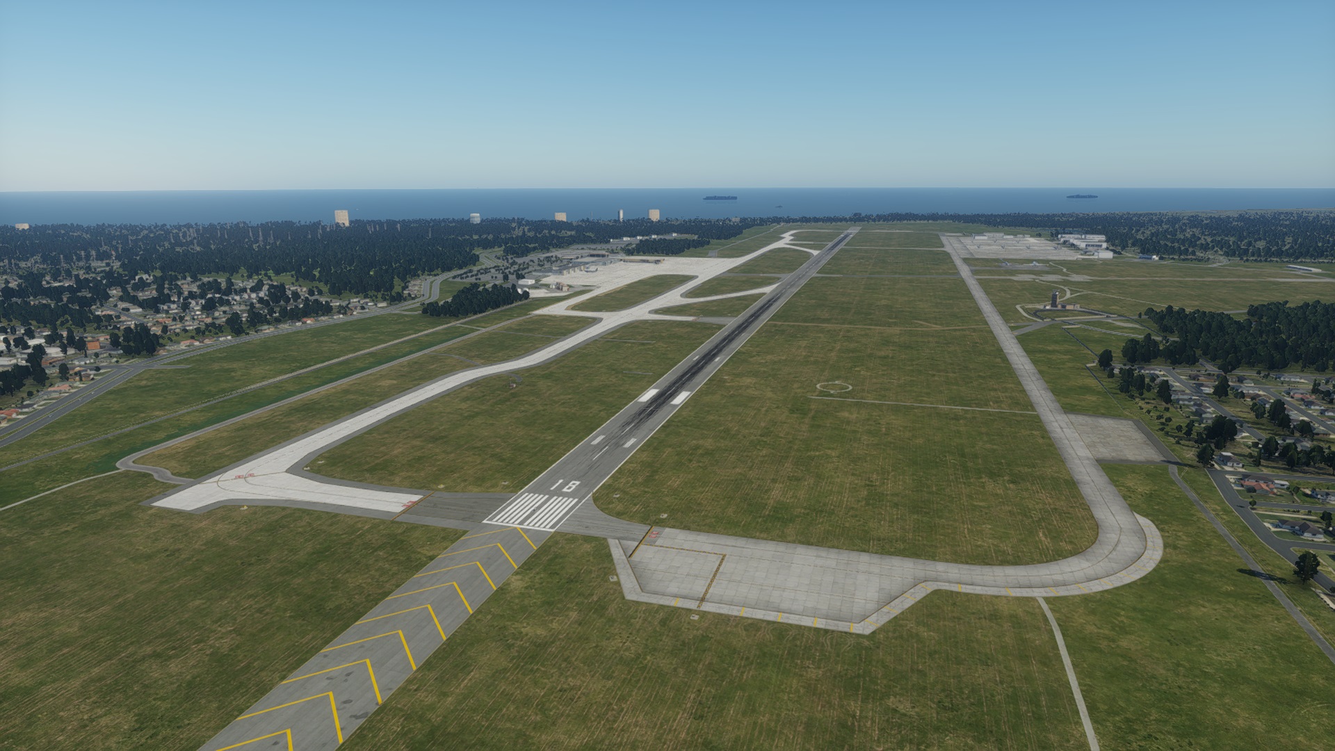

- 106724 – dglendinning 05/15/2025Full re-build for XP12. New taxiway layout.Approved Recommended
- 106723 – dglendinning 05/15/2025Full re-build for XP12. New taxiway layout.See comments
- 86355 – dglendinning 09/03/2021Total rebuild. Boundary tightened, new parking lot objects, new taxi and ground routes. New terminal and taxiways to match 2021 A/FD.Approved
- 57166 – dglendinning 12/23/2017Removed skyscrapers and buildings to the east and west that are not part of the airport and tightened the airport boundary. Moved airport beacon to proper location. Added better exclusions. Added new terminals and gates. Added forests. Added new ramp starts and updated to 10.50 standards. Improved night lighting and aligned taxiways to real world location. Added new taxi signs.Approved
- 41950 – [Deleted] 09/27/2015added ground routes, ATC runway use rules, lines and lights as needed. Also added Terminal, jetways, hangars and misc. buildings to meet obwservations from FAA charts and Earth Google.Approved
- 18925 – WEDbot 01/17/2015Airport upload from X-Plane 10.32's default apt.datApproved
Scenery Pack
Approved
57166 by Danny Glendinning December 23, 2017 11:39 AM
Released with X-Plane Desktop
- 11.20
- 11.25
- 11.30
- 11.33
- 11.35
- 11.40
- 11.50
- 11.51
- 11.55
X-Plane Mobile
(Not released yet)Features
- Has ATC Flow
- Has Taxi Route
- Has Ground Routes
Scenery properties
| Scenery ID | 57166 |
|---|---|
| Based on ID | |
| Author | dglendinning |
| Uploaded on | December 23, 2017 11:39 AM |
| Accepted on | December 24, 2017 10:45 PM |
| Approved on | December 28, 2017 9:30 PM |
| Declined on | |
| Name | Myrtle Beach International |
| Status | Approved |
| Architecture | 3D |
| WED version | 1.6.1r01 |
| Latitude | (Not specified) |
| Longitude | (Not specified) |
Metadata
| ICAO Code | KMYR |
|---|---|
| IATA Code | MYR |
| FAA Code | MYR |
| City/Locality | Myrtle Beach |
| State/Province | South Carolina |
| Country | United States |
| Region Code | K7 |
| Datum Latitude | 33.67975 |
| Datum Longitude | -78.928333333 |
| Transition Altitude | 18000 |
| Transition Level | 18000 |
| Local Code | Missing |
| Local Authorithy | Missing |
Note that this scenery can only be used in the X-Plane flight simulator. You can download the free demo to try it on your computer.
Julian Lockwood Admin December 28, 2017 9:30 PM
Approved by moderator.
Julian Lockwood Admin December 24, 2017 10:45 PM
Accepted by moderator, but not yet evaluated.
Danny Glendinning Artist December 23, 2017 11:39 AM
Removed skyscrapers and buildings to the east and west that are not part of the airport and tightened the airport boundary. Moved airport beacon to proper location. Added better exclusions. Added new terminals and gates. Added forests. Added new ramp starts and updated to 10.50 standards. Improved night lighting and aligned taxiways to real world location. Added new taxi signs.